Volant Volunteers at MAPS Stations to Support Avian Conservation
At Volant, our commitment to ecological stewardship goes beyond consulting—it’s a personal and professional passion. Recently, our co-founders took that commitment into the field by volunteering at Monitoring Avian Productivity and Survivorship (MAPS) stations, contributing to one of North America’s most important long-term bird monitoring programs.
Dan Cox participated at the MAPS station located at
Shaker Village of Pleasant Hill in Kentucky, while Mary Gilmore volunteered at the station in Cuyahoga Valley National Park in Ohio. These experiences allowed us to engage directly with the science that informs conservation strategies and deepened our connection to the ecosystems we work to protect.
What Are MAPS Stations?
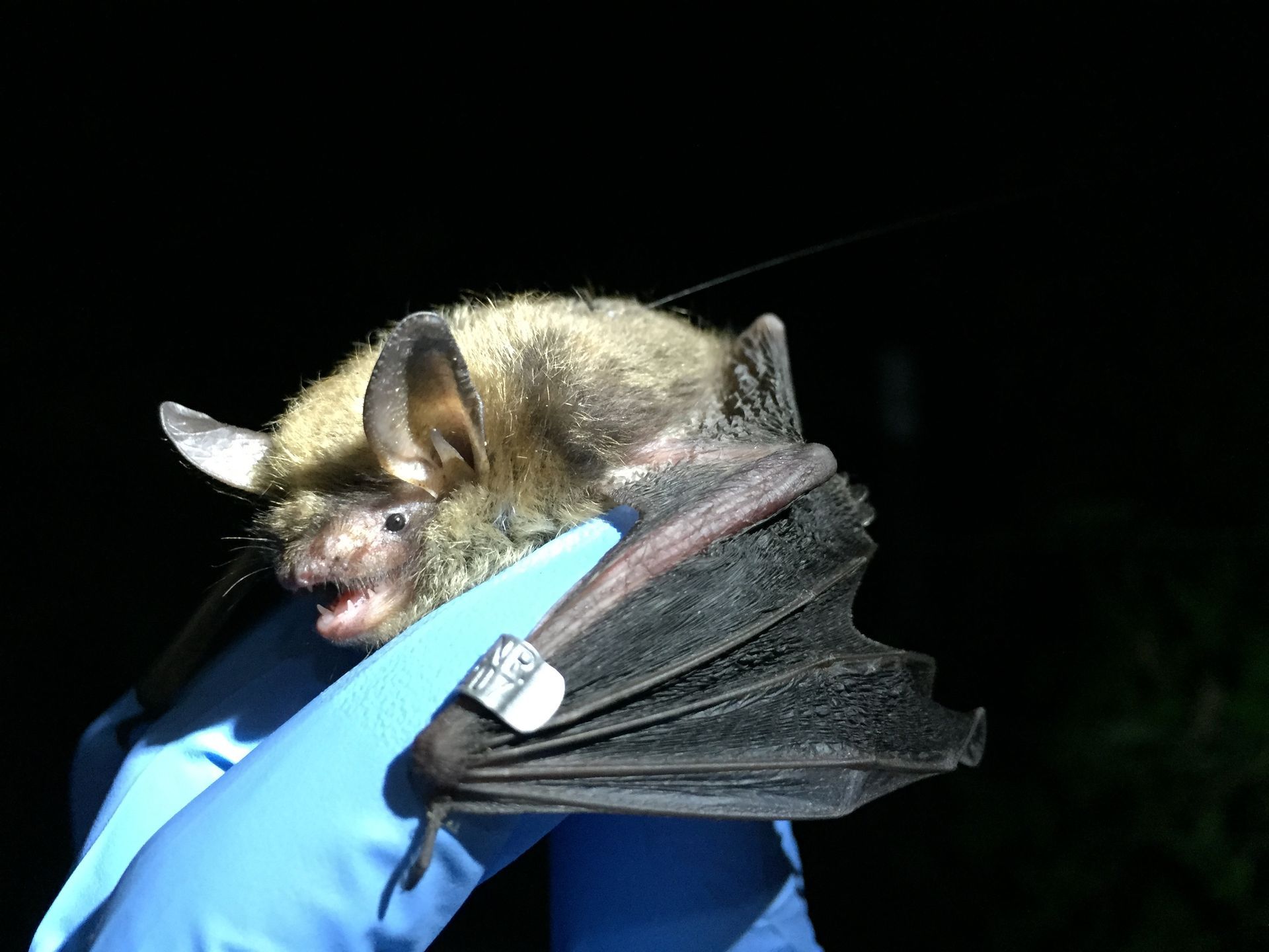
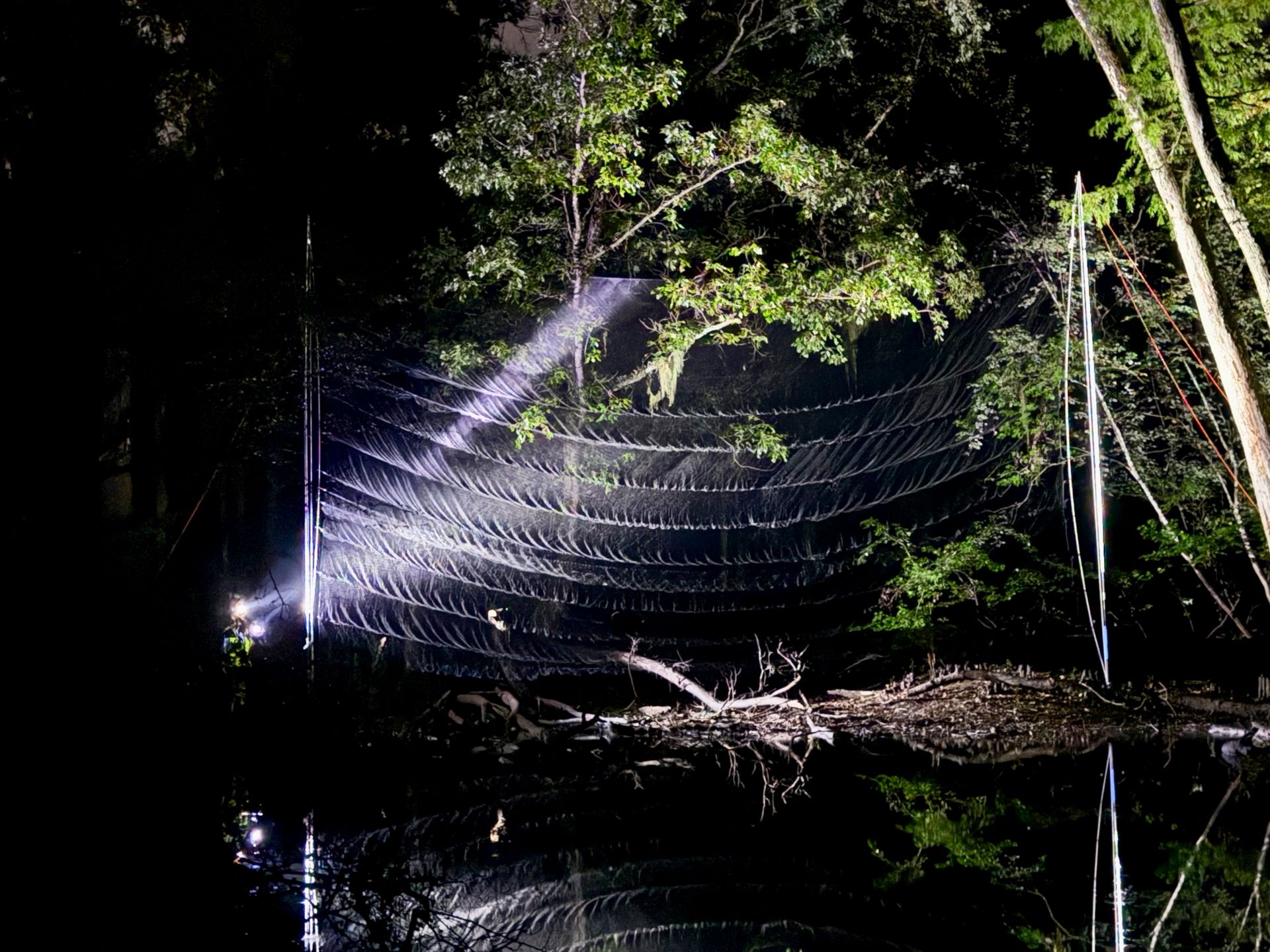
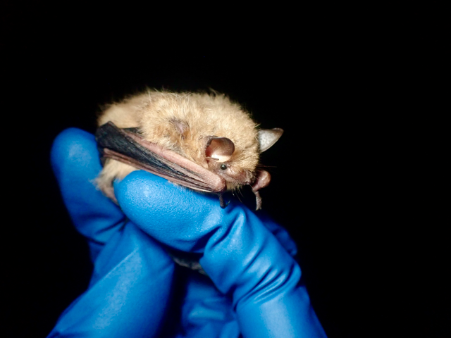
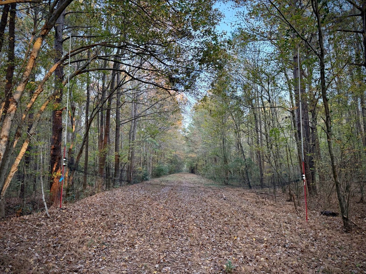
MAPS stations are part of a continent-wide network established by the Institute for Bird Populations (IBP). These stations operate during the breeding season and use standardized mist-netting and banding protocols to collect data on bird demographics—such as age, sex, and reproductive status. The goal is to monitor trends in avian productivity and survivorship, which are critical indicators of ecosystem health.
Why MAPS Matters
Birds are excellent bioindicators. Changes in their populations often reflect broader environmental shifts, including habitat loss, climate change, and pollution. MAPS data helps scientists and land managers understand these changes and develop informed conservation strategies. The program has been instrumental in identifying population declines and guiding habitat restoration efforts across North America.
Why Volant Participates
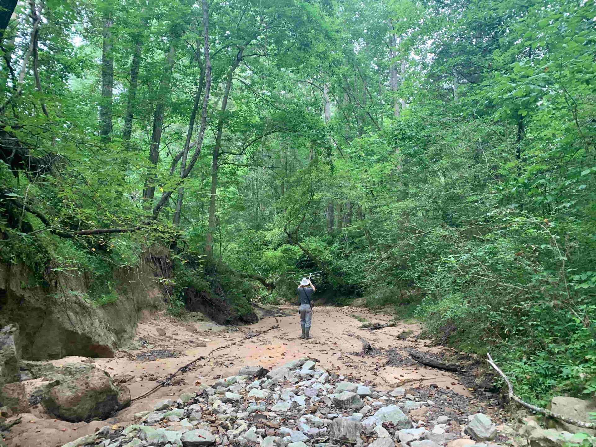
As ecologists, we rely on robust data to inform our work. Volunteering at MAPS stations allows us to contribute to the very datasets that shape conservation policy and practice. It also keeps us grounded in the fieldwork that underpins our consulting services. Participating in MAPS aligns with our mission to support science-based environmental solutions and gives us a chance to collaborate with other professionals and volunteers who share our passion for wildlife conservation.
Moreover, these experiences enrich our understanding of the landscapes we serve. Whether it’s the rolling hills of Kentucky or the forested valleys of Northeast Ohio, each MAPS station offers a unique glimpse into the local avian community and the broader ecological dynamics at play.
Looking Ahead
We’re proud to support MAPS and encourage others in the environmental sector to get involved. Whether through volunteering, funding, or simply spreading awareness, every contribution helps strengthen the scientific foundation of conservation.
Stay tuned for more field stories and insights from our team as we continue to engage with the ecosystems we serve—both professionally and personally.
Interested in long-term ecological monitoring or avian survey services for your property or project? Contact Volant EcoServices to discuss how our team can support your conservation goals across the eastern United States.